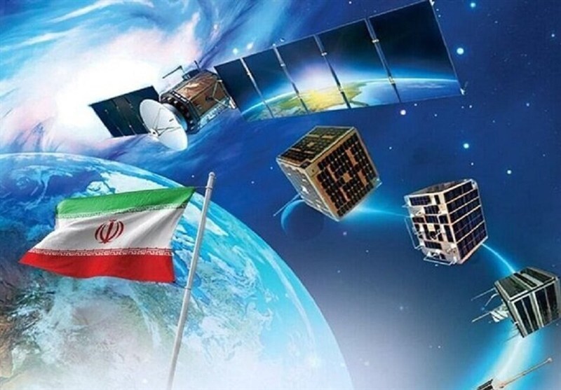
Three homegrown Iranian satellites have been successfully put into a 500-kilometer orbit and are operating normally, marking a major national achievement in the country’s space and communications sector.
In comments in Iran’s northern city of Rasht on Thursday, Minister of Information and Communications Technology Sattar Hashemi hailed the recent national achievements in the communications sector, saying the country’s industry witnessed a major and national event this week as a result of the efforts of domestic experts from the government, private sector, and universities.
He noted that three remote-sensing satellites, namely Paya, Kowsar, and Zafar-2, were placed into a 500-kilometer Earth orbit relying on domestic capabilities, describing the achievement as the outcome of cohesive teamwork and the country’s knowledge network that has turned into a source of national pride for the Iranian people.
Hashemi added that one of the most important functions of these satellites is land management, precise monitoring of territories, and preventing encroachment on natural resources.
On December 28, 2025, the three Iranian satellites—Zafar-2, Paya (Tolou-3), and Kowsar—were launched into space aboard Russia’s powerful Soyuz launch vehicle and were successfully placed into orbit. Hours after the launch, the reception of the first vital signals from the satellites began, indicating their normal operation.
According to the details released, the Zafar-2 satellite has a resolution of 15 meters, meaning that each point or pixel in the final image covers an area of 15 by 15 square meters on the Earth’s surface. While this level of accuracy is not sufficient to detect fine details such as vehicles, it was described as a key tool for macro-level national management, enabling officials to monitor the status of forests, changes in water resources, and the health of agricultural products on a large scale.
The Paya satellite, also known as Tolou-3, has been introduced as a representative of a new and more advanced class of Iranian satellites. The 150-kilogram satellite, moving beyond traditional lens-based cameras and using advanced telescopic camera technology, has achieved a base resolution of 5 meters. It was noted that by using artificial intelligence algorithms, the image quality of Paya can be enhanced to up to 3 meters. In addition, the satellite is equipped with a propulsion system that allows it to adjust its altitude and remain in orbit for longer periods.
Iranian officials have also announced the delivery of the next satellite, named Tolou-4 (Pars-2), whose imaging resolution has reached 2.5 meters—a level considered to mark entry into high-quality commercial imagery, according to Tasnim.
Furthermore, with the launch of the “Martyr Soleimani Constellation” project, which includes 24 satellites, Iran aims to expand its imaging coverage in a way that will allow very frequent imaging of any point on the Earth’s surface within short time intervals.


